Specialties in Geomatics
Mapping the future with precision and technology
You must know
Our Offer
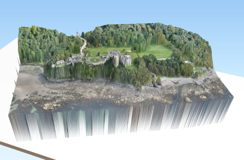
In EcoUrba, we offer comprehensive services of geomatics that include topography, photogrammetry and geodesy. We use advanced technology, including the software's more advanced to provide solutions geospatial precise and detailed, as well as mapping of high quality.
Our goal is to optimize the planning and execution of projects using geographic data reliable and up to date.

What do we offer?
Specialized Services
Services Topography
Georreferención of Projects using Vertex Geodetic (Technical standard for the Geodetic System Mexicano) Topographic survey with GNSS technology Lifting photogrammetric technology RTK
Photogrammetry And Geodesy
Development of digital Terrain models Development of digital Elevation models Obtaining of Level Curves Production of Orthophotos Production of Topo maps (Altimetry and Planimetry)
Services and Geospatial Mapping
Creation and editing of bases of vector data. Analysis of geospatial data (analysis of Suitability and economic models). Custom graphic design for thematic mapping
Likewise you can offer
- Development of thematic Mapping
- Creation of interactive maps and universities geoportals (dashboard)
- Modeling space for the Design of Vertical and Horizontal strokes rail
- Creation of spatial models for the projection of Population Growth (Ministry of defence)
- Development of Isochrones for projects of transport and mobility
- Modelling spatial probabilistic projects for mobility and transport
A sample of
Our work

